Saturday, September 27, 2014

Travel: Natural Bridges State Park, Utah

In the small town of Mexican Hat we rested after Monument Valley in an unexpectedly comfortable motel with a warm sunny pool.

Dinner at the "Swingin' Steak" was a first for us.  Meats are barbecued over an open wood fire on a gimbaled grill which moves the steak into the flame then out, searing and browning it without burning the meat. 

The salad and steak floated atop a gooey mess of refried beans, coating the greens with bean goo as well as salad dressing, and warming the cool salad as well. The steak was OK, however. 

The outdoor patio was warm and was visited by flies quite frequently.  John, the hublet, was underwhelmed, though the recommendation was sincerely made by our Navajo guide in Monument Valley.

Beside Mexican Hat flowed the muddy, army-green, rocky San Juan River.   
Depending on upstream flash floods, the river is "red" or "green" - one tributary empties Chinle Wash with its Halgaito shale deposits. McElmo Canyon has Mancos shale, and is the source of heavy green sedimentation.

Leaving Mexican Hat we viewed the amusing balanced rock which gave the town its name.

web photo
I chose to take Highway 261, not noticing a small area of road marked Moki Dugout.  This turned out to be a gravel-dirt road cut out from the side of the steep mesa.  Built by a uranium mining company in 1958, Utah has not seen fit to improve this highway.  The weather was good our Jeep sturdily climbed the hill, conducted with aplomb by hublet John.


In Goosenecks State Park, we saw one of the world's finest examples of an entrenched river meander. An upward shift of the rock beds caused a rapid incision of the river into the sandstone with a symmetrical path.  The riverbed lies in a 1,000 foot deep gorge, and the one meander area measures 6 miles long in a 1 ½ mile direct measure.

Rocks exposed here are 300 million years old, dating to the Pennsylvanian Period.

We weren't able to walk in the deep canyons and their spectacular oxbow pathways through the rocks, but we could see them from the top of the plateaus they have eroded so powerfully.
satellite photo - Goosenecks State Park

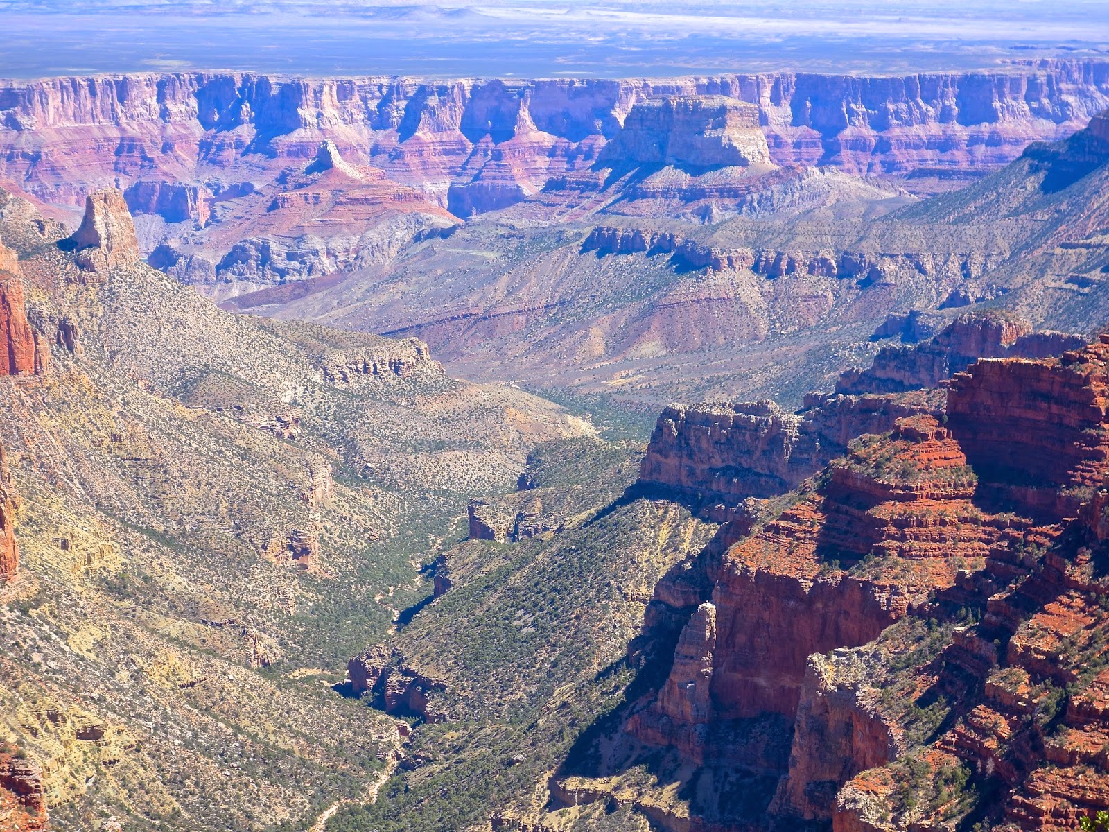
The landscape is gray and sandy, dull, and wrinkled like the tough hides of elephants or dinosaurs. Open, open, I feel my mind stretching to know time and events here.

We zip across the desktop of Cedar Mesa, and quickly come to Natural Bridges State Park. Here the rock is warm cream and sienna, and it is astonishing - my first view of a rock bridge I've wanted to see for so long.
Sipapu Bridge

The road has been lain for car touring, and I'm so grateful.  My husband cannot walk well anymore and views he can no longer earn on foot are still offered to us, courtesy of an environmental access philosophy that is more generous than Edward Abbey's.
Owachomo Bridge - means rock mound in the Hopi language
These bridges, perhaps 5,000 to 30,000 years old, have been eroded by river waters, different from the arches in Arches National Park. Silt from Permian Period sea and beach became sandstone layers of varying density.

diagram of Rainbow Bridge erosion process
Meanders undercut the sandstone of the river beds, and softer areas washed out, leaving harder stone above. Flash floods pounded boulders down the river course, too, knocking out the yielding sandstone, and leaving the arch, temporarily firm, above. 
This bridge is staunch, wide and high, and I hiked down to stand beneath it and marvel at its span and the wonderful empty space beneath it. There is still a river moving through this canyon, too, adding freshness and a sense of current time to this seemingly timeless place.
Like a child, I was curious to stand beneath the bridge and gaze up at its span, so like and yet so not of the mechanical wonders that span the world's rivers and bays. Desert varnish stripped the sides of the span, making the bridge look like a sienna-colored lizard.

Beneath the span and beyond lay a tumble of riverbed, boulders, and willows, angled silted rock slabs canted against each other, disorienting me slightly, yet delighting me, alone beneath this hallowed place.


My worries about John's boredom while I hike are alleviated when I come back up the trail and find him chatting with another traveler who isn't hiking anymore, but waiting for his friends below.  He's good at this, chatting up  people, and enjoys it.

Thursday, September 25, 2014

TRAVEL: Day 5, Monument Valley

Earth's dynamic processes use time to its own ends, creating innocent forms unpossessed by the admiring gaze. 

commercial photo 
"…nothing is fair or good alone…" (Emerson)
"…cast a pale eye…pass by" (Yeats)

To humans is left the act of naming that will endow Gaia's spires, pinnacles, and mountains with memorial purpose.
When the trail fades, build a rock cairn to guide the next hiker passing by, silently assure his steps into wilderness. 

With a mighty surge, raise an obelisk to your country's heroic victory.
Place a headstone for your beloved one and then inevitably, turn and walk away, back to your future.  
Endow a museum, for that will hold the strange and beautiful work of many human journeys.

I consider these and other fundamental rituals of humans,humbled as we are by grief and the insult of death.

Monument Valley and its haunting sandstone bluffs, towers, spires, and ship rock formations has such singular poignancy to me.

I can make of it a memorial ground, a place of spirits gathering in the dust and wind, calling each other to witness.


"More than this, there's nothing
 More than this, tell me one thing…" (Roxy)


"The ill-concealed deity…" (Emerson)


But I see its beauty, standing separate, in need of nothing.  Even poignancy and formal feeling fall away.  The wind removes the wispy shrouds wrapping emptiness. 
  

Now I have the will to climb, to stop, to become empty.


model Navajo hogan
People live in this place, their lodges earthen, low and humble.  There is space between them. The village was unneeded in the old days, a modern and necessary inconvenience.

Juniper logs are stacked without nails,  ingenious, sinew-like, raise a shelter.  Unjoined, merely balanced, but so sturdy, they can be moved and raised in another place, some other time, for reasons or not.


Emerson's Nature gave him a center, it seems, a Deity.  Perhaps a male soma becoming archetypal.  I find no holding center, nor have I concern.  I see a open door to maya,  endless, direction-free, transparency and deepest space. 

Ford's Point, modern day Navajo model

I, too, watch, then alas, I leave.


Tuesday, September 23, 2014

TRAVEL: Day 3: The Vermilion Cliffs

For sale: $30 to 50m
no museum will ever
own this. I grieve.
What if Van Gogh had seen Utah?  He was a painter whose largesse would never have failed the glory of Utah. The minerals and ores make an intense palette of pale green, burnt orange, salmon, cinnamon, cream. The earth's dynamic belly carries possibility as potent as any fresh seed in springtime. 

In Utah that belly is open, raw; with that raw starkness  comes overwhelming beauty. The implication of past violent upheavals and collision forces a struggle to imagine their magnitude. They seemingly rest now, and an immense calm comes to me as I gaze upon all beauty, all completeness.

The names of my oil paints - they hold earth's makings in pigments for me to make Riot. What color is vermilion? Many places in the west are named "red", but none really are so.  They are dark orange, salmon, coral, cinnamon brown, burnt sienna, due to iron present in the sand. Or pale green, manganese, copper and slate colors wrapped over their eroded mounds.

 John Wesley Powell, the quintessential naturalist-explorer of the Colorado, named the Vermilion Cliffs with a certain knowledge of color and imagination others lacked. 
web photo, not mine
We encountered the Vermilion Cliffs after we left the North Rim, descending into a drier hotter tableland from which rose another marvel of red rock splendor. 

It was hot again.  The North Rim, with its 9000 foot plus elevation, was brisk in the morning, then offering sun-warmed cliffs and nooks to bask.  No wonder species behavior includes basking.  It's right up there with floating. 

Even our modest motel was vermilion.  It hunkered down like an old settler's cabin, with wall intervals stuck with ugly window air conditioners.  But the setting, so unvarnished and functional, a shelter for those who imagine themselves off the grid. To step outdoors in the morning was its own small epiphany, a morning blessing from red druids living in the cliffs above us.


TRAVEL: DAY 3 & 4: Glen Canyon Dam & Lake Powell: A Lost Place

We left Lee's Ferry Lodge to begin a fishing adventure, suggested by The Hublet as his special activity during our Red Rock Fantasy Tour.  On-line, I found this place, signed up for it, with a kind of faith in electronic truth-telling, announced we had a venue, and paid the necessary and pricey fee for a qualified guide and boat.


And I begin to tell about a place of beauty now lost to us. We motored 13 miles up the Colorado from Lee's Ferry, a historic location - Powell and his surveying groups used it, as did Mormon settlers, trappers, and explorers. That 13 miles is all that is left of Glen Canyon. 

I had two day trips in the canyon, fishing and doing a float raft trip, enabled by the tourism's "seasonal professionals" (guides).  How I longed to be in a kayak alone on that poignantly beautiful ribbon of river.  


Our guide, TJ, displays one of our catches
It is now a  "tailwater fishery", one of the best in the United States for rainbow trout.Fish are stocked initially after a dam's completion and thrive in the cool water released from the bottom of the lake.

Further protected by baitless fishing regulations, the area becomes an angler's idyll. Fish were easily visible, and the scenery perhaps the most beautiful in any fishery we'd ever tried.  With jigging, lures, Carolina rigs, mice tails, glow-bugs and our guide TJ's expertise, we each caught about 20 trout, within a 12-18 inch range.  

Best, they easily released with barbless hooks and flitted off with amazing speed after releasing them. I think I catch them just so I can behold their iridescent beauty, like no other fresh-water fish in nature.


Glen Canyon Dam was dedicated in 1966, and the new Lake Powell (named after John Wesley Powell) was full by 1980.  The dam is the second largest in the U.S., and was intended as a crucial part of western energy and water infrastructure.


Glen Canyon before the dam,
Web photo


Glen Canyon dam (note the level of water release - none)

In retrospect, it was another monument of the 
"Engineer Period" in economic growth.  Americans' mechanical/motor expertise harnessed the land and climate, all in service to human comfort through consumer solutions.  

During the period in which Glen Canyon Dam was proposed and built, a familiar dialogue between Progress and Entropy ensued, which ended with no surprises. The dam was built, and now it's mostly useless except as a silt trap for Lake Mead. Churlishly, I admit that Lake Powell provides lots of tourism opportunities, too, more than the canyon did - more access to "nature", than did Glen Canyon.

We could build it, and so we did, and history records another narrative of unforeseen consequences and poignant regret.

Lake Powell is 186 miles long; Glen Canyon is 200 miles long.  Do this math and imagine what little is left.  

1983 water release - photo suggested by Jared Farmer
In 1983 the dam was almost overtopped (water flowing over the top of the dam instead of exiting through spillways will erode dam material and alter pressure and cause failure) after heavy rain and nearly collapsed. 


damage to spillway, 1983

Modifications were made after the water receded, including dealing with cavitation (erosion of the surface of the spillway or tunnel caused by water speed and pressure variations). Engineers thought they got "lucky" that time.


Today, the dam is viewed as unneeded by some conservationists, who want to see Glen Canyon restored, and Lake Powell emptied to dead pool level. 

The dam site was chosen primarily because the Sierra Club's David Brower and other major conservation groups wanted the dam built there instead of Dinosuar National Monument/Echo Canyon, another scenic area. He never went to see Glen Canyon, however, before taking this position. He visited it later on, and horrified, reversed himself and attempted to stop construction. Today he advocates for its drainage.


He stated, "I have worn sackcloth and ashes ever since, convinced that I could have saved the place if I had simply got off my duff."  (http://vault.sierraclub.org/sierra/199703/brower.asp)  "...After the dam, Glen Canyon became known as “the place no one knew” and America’s “lost national park.” Legendary conservationist David Brower lamented, “Glen Canyon died in 1963…. Neither you nor I, nor anyone else, knew it well enough to insist that at all costs it should endure. When we began to find out it was too late.”  (Glen Canyon Institute website :http://www.glencanyon.org/glen_canyon/why-glen-canyon).  

How can one plead ignorance - he could have investigated, couldn't he?  Why? Why?

The dam submerged a canyon with smooth sandstone red walls 800 to 1200 feet high, cut by many side canyons, one of the most remarkable features of Glen Canyon. 

The dam, to my estimates, has filled about ⅔ to ¾ of the canyon heights, and backed up water 186 miles into it, created a vast shoreline, and filling the 200 mile length almost completely. It drowned many side canyons and opened passages into others.  It emptied the area below the dam to varying depths, but perhaps less than 50 feet on average, depending on water release, exposing more cliffs, and depleting the river's native fish population shockingly.

Before the dam, a river trip in this canyon offered a different experience than the Grand Canyon.  Few rapids and smooth waters made the journey peaceful, quiet, and yet with the enjoyment of discovery - side canyons beckoned, and sandbars with willows made for dry campsites intimately close to the flowing river. The solitude and serenity were given freely and came easy, they say.   

Brower makes a compelling case for draining Lake Powell and leaving the emptied dam standing as a cautionary monument.  Lake Mead seems to have the storage capacity to hold much new water. But one function of Lake Powell, to restrain silting in Mead, would be lost, and I've yet to find how that major problem would be solved.

John Muir, it's said, died in grief because of a similar canyon's demise.  He fought mightily to save Hetch-Hetchy Canyon, more beautiful than Yosemite Valley, from being damned.  But President Wilson allowed the dam, enabling San Francisco to become the great metropolis it is today, at national taxpayer's cost. It seems to make a special hell for Brower - though Muir didn't have the backing or power that Brower did.  But where else would the dam go? No dam was not an option in Engineer Period.

After the loss, a Glen Canyon literary genre emerged. Jared Farmer, in a 1996 article for the Western Historical Quarterly, laments with everyone the loss of a place, and the elevation of a new "place", Lake Powell, as a "discovery destination", which offers a pure experience of nature.  He points out that, in fact, it might be possible to have that, but suggests that "discovering something new" is a commodification of travel experience that diminishes the experience of the natural world.


includes Wallace Stegner's essay, Submersus
We are served by the distribution of western water, our growing population accommodated in arid lands that didn't invite us.

But something is gone, a part of our earthly connection has been destroyed, a sinew to an authentic selfhood loosed and drowned.
Katie Lee, author

In the film Deliverance, I continue to find a loose morality tale of rivers.  The "good" guys, unprepared for wilderness, take a dangerous raft trip on a river that is about to be dammed and are assaulted by locals.  They kill at least one and dump his body into the river where it will be forever lost under the new lake. The good guys go on with their lives, one living in a cottage on that very lake.  They got away with it, though they didn't deserve to.


Eliot Porter's lovely photography of lost Glen Canyon
Guilt, regret, and anger - individual and collective, have ensnared me. The more I learned the more complex the tangles became. While I write I muffle snarls of frustration.
  
Made culpable by prior generations, the entitlements bequeathed me also damn me to a responsibility my personal agency is  ineffective to meet.    


 Woody Allen once advised a graduating class of college students, “... as you embark on your life’s journey, you will come to a fork in the road. The way to the left leads to inevitable destruction. The one to the right, to despair and misery. Choose wisely.”

Monday, September 22, 2014

TRAVEL: Day 3, Mule Ride, North Rim & Point Royal 9-22


I'm up very early for a mule ride to Supai Tunnel on the Kaibab Trail, on Bonnie, a 17-year old mule. I'm reading Wallace Stegner and David Wortser's biographies of John Wesley Powell, and imagining the hardships he and his exhibitions endured.  


Thomas Moran

It's a crisp, sunny morning, and there are warm pockets of sunlight against the south-facing canyon walls as we ride down the trail, while shadows are chill.  The mules are trained to ride on the outside of the trail, close to the edge, so that requires some behavior mod to control a bit of nervousness.  

The canyon rim views were astonishing as always. As always I love the mental struggle to encompass the events which have wrought such an indescribable place. As always, I plan to come back, tell-tale evidence of a good vacation.

I will not see the river on this ride.  That is for later, when we go to Point Royal.


At least, I can get a stratigraphic map to show the layers of rock, though the dating is left off.  It's old. Old world, looking at the bedrock is to imagine creation's process at one point in time, but still wondering, why? Thinking it's all chance is even more astonishing than positing God. God is purposeful, chance not so much. 
In my paint box the colors of the canyon are there, waiting for me.  But no painter can do more for me than what happens to me as I gaze.

Petrified footprints of an extinct sauropod on the way down Kaibab Trail.

This looks like a giant goblet overflowing - the desert varnish streaks it as the sandstone is undercut by erosion.


Point Royal is even more remote, but after driving across the Walhalla Plateau we are in yet another place of wonder.  


Viewpoints are numerous and spectacular, making it easy for us to cheat the rigorous requirements of the hiking gods.

The river snakes pale green and distant, finally showing its restless bed.

Angel's Window is visible from a distance and it's a unique formation, foreshadowing the arches and bridges we will see later. I take time to walk out on it, marveling at how much room there is on top - certainly could land a helicopter there, but conclude that this is the perfect fit for the 900 angels to rest when they're not trying to fit on the edge of a pin.


I confess to skipping Point Sublime, though Edmund Burke would have urged seeing it.  It's two more hours over a bad road and we are pacing ourselves.  I give you instead a historic image from Clarence Dutton's Tertiary History of the Grand Canyon, published in 1882 with plates by William Holmes and artwork by Thomas Moran.


Then.


Now. I wish now we'd gone and done it. Way does lead onto way.

The nights are chill, and soon the major roads and services will close for the winter. The heat of the day is deceiving, but the aspen are changing, giving us bountiful generous views of their golden cloaks shimmering.
 So many wonderful western autumns we've spent celebrating the aspens' turn to winter.